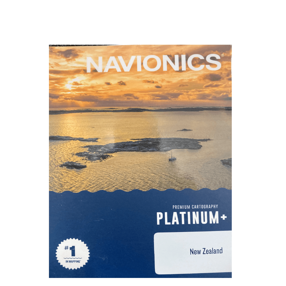
Navionics Platinum + NZ Chart NPPC029R (Non Garmin Units)
Qty:
Navionics Platinum+ charts include all the content of Navionics+ cartography, with integrated offshore and inland mapping, 42,000+ lakes and additional viewing options for relief shading, satellite imagery, 3D perspective view, aerial photos and more.
THE NAVIONICS SUBSCRIPTION
A one-year subscription to Daily Updates and advanced features is included when you purchase any new Navionics Platinum+ mapping solution. After a year, you can renew at a discounted price.
Navionics Platinum + Regular NZ Charts And Updates:
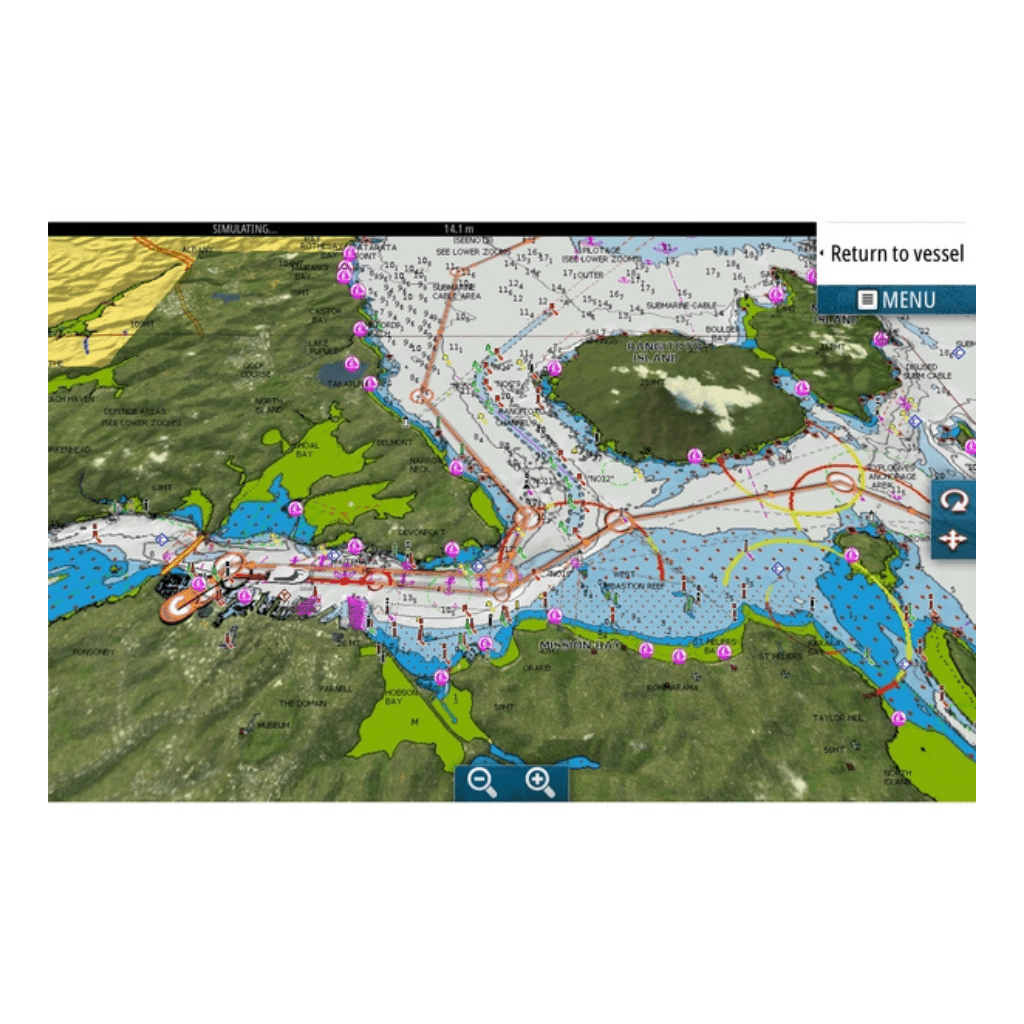
- Nautical Chart - Comprehensive charts are derived from multiple official, government and private sources, displayed in a familiar look and feel
- SonarChart HD Bathymetry - Innovative 1' (0.5 m) bathymetry charts are created by using Navionics proprietary systems that augment existing content with sonar data contributed by the boating community
- Community Edits - Get useful local knowledge from edits made by users of the Navionics Boating app on your compatible smart device.
- Daily Updates - Up to 5,000 daily updates to our charts give you the most accurate, most current Navionics data available.
Navionics Platinum + Regular NZ Advanced Features:
- Dock-to-dock Route Guidance - Start your trip with a suggested path.
- SonarChart Live Mapping Feature - Watch new HD depth maps develop in real time as your boat moves through the water.
- Advanced Map Options - Customize your view to focus on the details that matter most
- Plotter Sync - Transfer routes and markers, update chart layers and more - between your compatible chartplotter and the Boating app.
Navionics Platinum + Regular NZ Overlays:
- Relief Shading - Get an easy-to-interpret, clearer view of bottom structure.
- Satellite Imagery - offers a top-down view of inland and coastal areas.
- Sonar Imagery - View bottom hardness clearly and in contrasting colour.
Navionics Platinum + Additional Viewing Options:
- 3D View - Adjust the perspective of your chart view to highlight key features and enhance awareness
- Aerial Photos - Get a better sense of your surroundings.
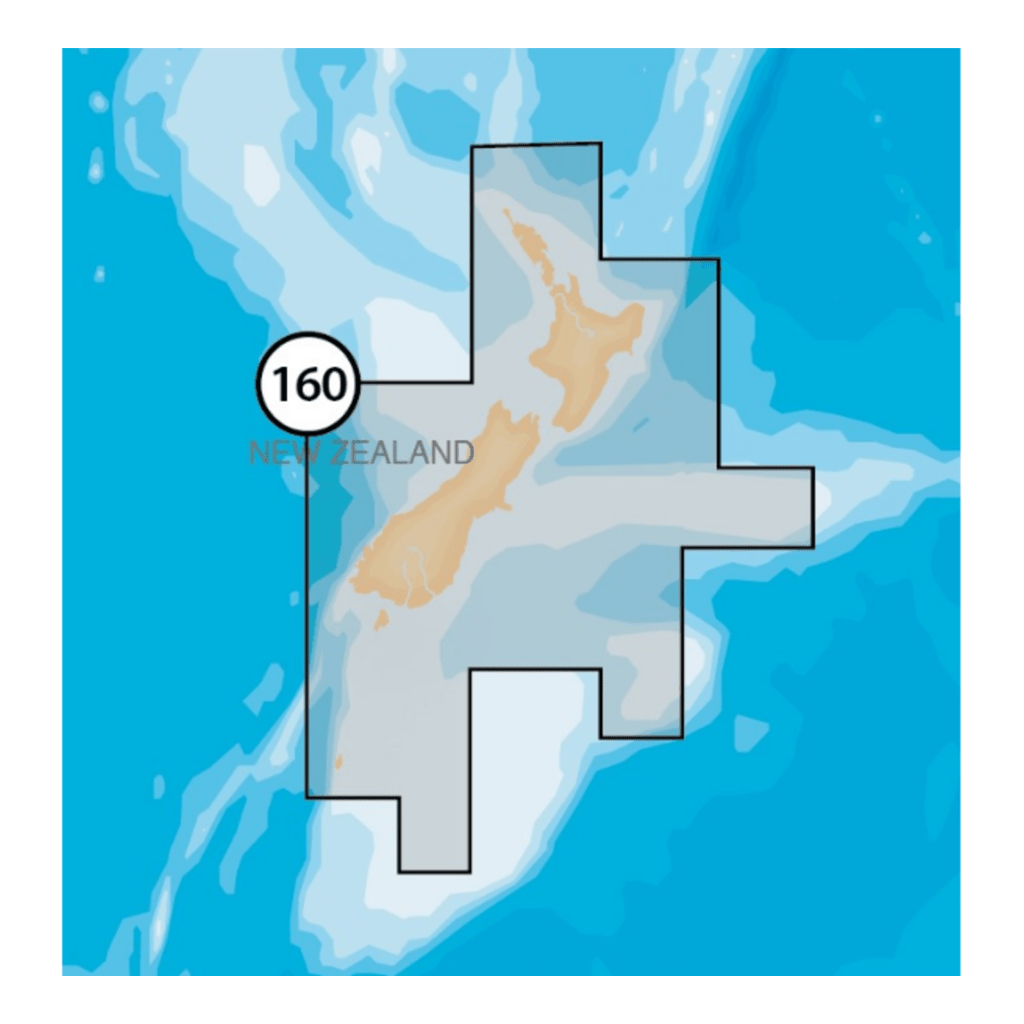
Navionics Platinum + Regular NZ Coverage Areas:
- Worldwide map coverage is available, with integrated content making it easier to select the navigation features and map regions you want. Choose from large coverage areas (Large) to more localized chart cuts (Regular).
Navionics Platinum + Regular NZ Compatibility:
- Check compatibility of Platinum+ content and features with your GPS chartplotter.